- Városklíma Kutatócsoport:
- Publikációk.
- Projektek.
-
Acta Climatologica:
- Tomus 55. (2021).
- Tomus 54. (2020).
- Tomus 53. (2019).
- Tomus 51-52. (2018).
- Tomus 50/B (2016).
- Tomus 49-50. (2016).
- Tomus 47-48. (2014).
- Tomus 46. (2012).
- Tomus 44-45. (2011).
- Tomus 42-43. (2009).
- Tomus 40-41. (2007).
- Tomus 38-39. (2005).
- Tomus 36-37. (2003).
- Tomus 34-35. (2001).
- Tomus 32-33. (1999).
- Tomus 31/A (1997).
- Tomus 30. (1996).
- Tomus 28-29. (1995).
- Tomus 27. (1993).
- Tomus 24-26. (1992).
- Tomus 21-23. (1989).
- Tomus 18-20. (1985).
- Tomus 16-17. (1980).
- Tomus 14-15. (1977).
- Tomus 13. (1974).
- Tomus 12. (1973).
- Tomus 11. (1972).
- Tomus 10. (1971).
- Tomus 9. (1970).
- Tomus 8. (1969).
- Tomus 7. (1967).
- Tomus 6. (1966).
- Tomus 4-5. (1965).
- Tomus 2-3. (1963).
- Tomus 1. (1959).
- .
- Egyéb kiadványok:
- .
Bartholy J, Gulyás O: Expansion of meteorological fields by macrosynoptic average fields
Summary: The study is dealing with optimal representation of the AT 500 geopotential fields given by grid points with 5° latitude difference and 10° longitude difference. At the same time it attempts to compose a basic system of the macrosynoptic fields defined on the analogy of the Péczely-types.
The problem solved in the study has got practical importance in the respect of middle-range and long-range weather forecast.
Friss Hírek

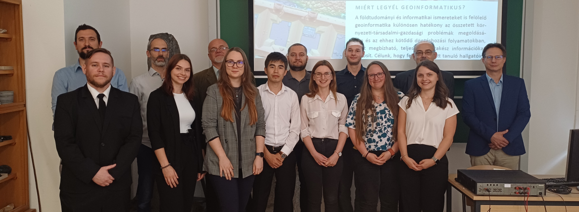
9 geoinformatika mesterszakos hallgató fejezte be sikeresen tanulmányait a Szegedi Tudományegyetemen. Gratulálunk hallgatóinknak!
Friss hírek
2025. június 20.
2025. június 12.
Kar, Intézet
Tanszékek
AZ EGYETEMRŐL
HASZNOS OLDALAK
Szegedi Tudományegyetem Légkör- és Téradattudomány Tanszék
6722 Szeged, Egyetem u. 2.
Telefon: 36-62-544-856
E-mail: clima.ttik@szte.hu
6722 Szeged, Egyetem u. 2.
Telefon: 36-62-544-856
E-mail: clima.ttik@szte.hu
(C) 2010 Szegedi Tudományegyetem. Minden jog fenntartva.


