- Városklíma Kutatócsoport:
- Publikációk.
- Projektek.
-
Acta Climatologica:
- Tomus 55. (2021).
- Tomus 54. (2020).
- Tomus 53. (2019).
- Tomus 51-52. (2018).
- Tomus 50/B (2016).
- Tomus 49-50. (2016).
- Tomus 47-48. (2014).
- Tomus 46. (2012).
- Tomus 44-45. (2011).
- Tomus 42-43. (2009).
- Tomus 40-41. (2007).
- Tomus 38-39. (2005).
- Tomus 36-37. (2003).
- Tomus 34-35. (2001).
- Tomus 32-33. (1999).
- Tomus 31/A (1997).
- Tomus 30. (1996).
- Tomus 28-29. (1995).
- Tomus 27. (1993).
- Tomus 24-26. (1992).
- Tomus 21-23. (1989).
- Tomus 18-20. (1985).
- Tomus 16-17. (1980).
- Tomus 14-15. (1977).
- Tomus 13. (1974).
- Tomus 12. (1973).
- Tomus 11. (1972).
- Tomus 10. (1971).
- Tomus 9. (1970).
- Tomus 8. (1969).
- Tomus 7. (1967).
- Tomus 6. (1966).
- Tomus 4-5. (1965).
- Tomus 2-3. (1963).
- Tomus 1. (1959).
- .
- Egyéb kiadványok:
- .
Bokwa A et al: Urban climate in Central European cities and global climate change*
DOI: https://doi.org/10.14232/acta.clim.2018.52.1
A Bokwa1, P Dobrovolný2, T Gál3, J Geletič2, Á Gulyás3, M J Hajto4, J Holec7, B Hollósi5, R Kielar4, M Lehnert6, N Skarbit3, P Šťastný7, M Švec7, J Unger3, J P Walawender4,1 and M Žuvela-Aloise5
1Jagiellonian University, Institute of Geography and Spatial Management, Gronostajowa St. 7, 30-387 Kraków, Poland
2Global Change Research Centre AS CR, Belidla St. 986/4a, 603 00 Brno, Czech Republic
3Department of Climatology and Landscape Ecology, University of Szeged, Egyetem u. 2., 6720 Szeged, Hungary
4Institute of Meteorology and Water Management - National Research Institute, Piotra Borowego St. 14, 30-215 Kraków, Poland
5Zentralanstalt für Meteorologie und Geodynamik, Hohe Warte St. 38, 1190 Vienna, Austria
6Palacký University Olomouc, Krizkovskeho St. 511/8, 77147 Olomouc, Czech Republic
7Slovak Hydrometeorological Institute, Jeseniova St. 17, 83315 Bratislava, Slovakia
E-mail: anita.bokwa@uj.edu.pl
Summary: Urban areas are among those most endangered with the potential global climate changes. The studies concerning the impact of global changes on local climate of cities are of a high significance for the urban inhabitants' health and wellbeing. This paper is the final report of a project (Urban climate in Central European cities and global climate change) with the aim to raise the public awareness on those issues in five Central European cities: Szeged (Hungary), Brno (Czech Republic), Bratislava (Slovakia), Kraków (Poland) and Vienna (Austria). Within the project, complex data concerning local geomorphological features, land use and long-term climatological data were used to perform the climate modelling analyses using the model MUKLIMO_3 provided by the German Weather Service (DWD).
Key words: urban climate, climate change, urban climate model, heat load
*This paper is the edited version of the final report of the Urban climate in Central European cities and global climate change project, submitted in 2015.
Friss Hírek

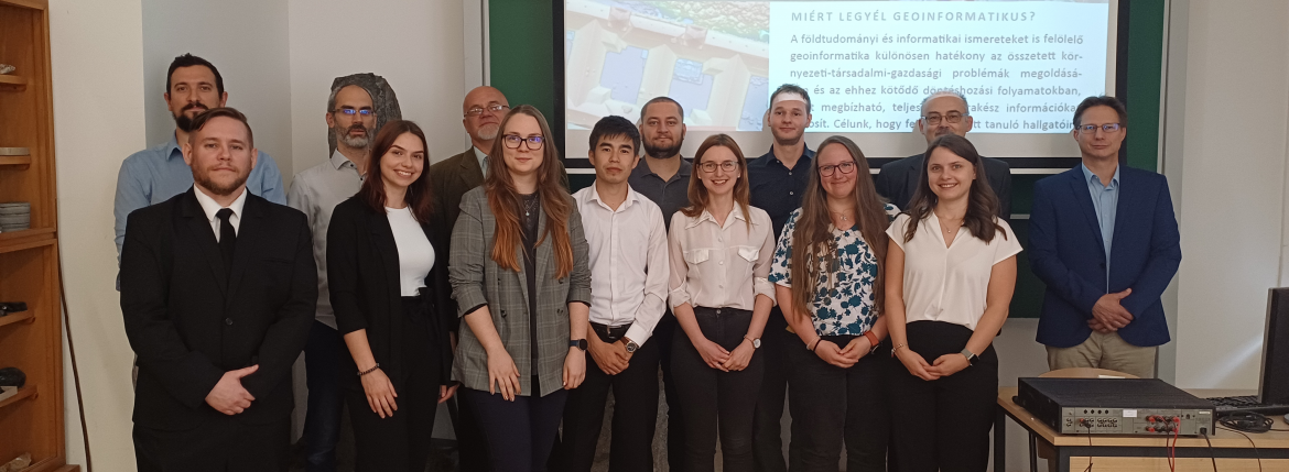
9 geoinformatika mesterszakos hallgató fejezte be sikeresen tanulmányait a Szegedi Tudományegyetemen. Gratulálunk hallgatóinknak!
Kar, Intézet
Tanszékek
AZ EGYETEMRŐL
HASZNOS OLDALAK
6722 Szeged, Egyetem u. 2.
Telefon: 36-62-544-856
E-mail: clima.ttik@szte.hu


